Species Detail - Eristalis abusiva - Species information displayed is based on all datasets.
Terrestrial Map - 10km
Terrestrial Map - 10km
Distribution of the number of records recorded within each 10km grid square (ITM).Marine Map - 50km
Marine Map - 50km
Distribution of the number of records recorded within each 50km grid square (WGS84).Species image
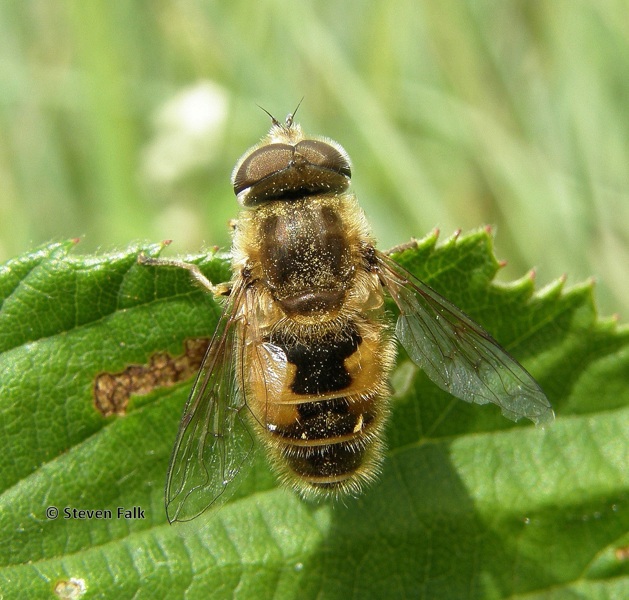
Eristalis abusiva
N/A
NHMSYS0021385409
RecommendedWell-formed
N/A
N/A
Collin, 1931
Insect - true fly (Diptera)
Species
189
101
58
27/07/1901
29/06/2023
1 May (recorded in 1997)
18 October (recorded in 1974)
National Biodiversity Data Centre, Ireland, Eristalis abusiva, accessed 07 July 2026, https://maps.biodiversityireland.ie/Species/308615