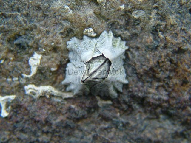
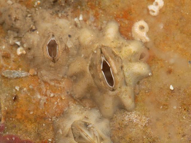
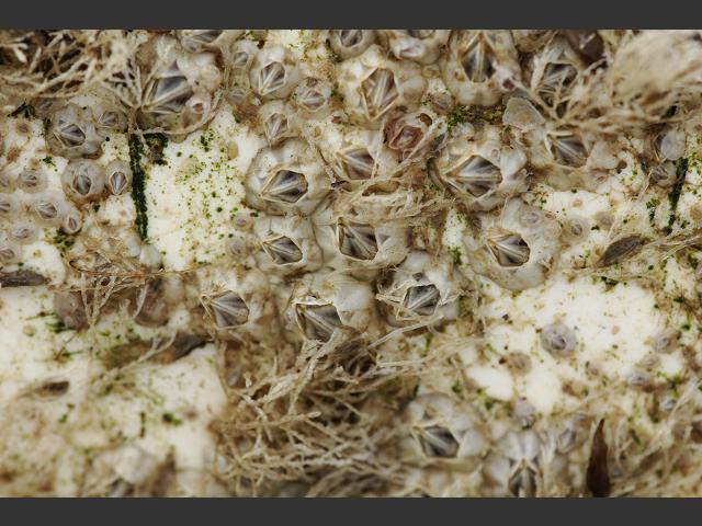
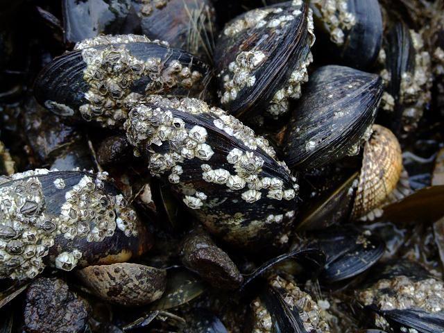
Species Detail - Austrominius modestus - Species information displayed is based on all datasets.
Terrestrial Map - 10km
Terrestrial Map - 10km
Distribution of the number of records recorded within each 10km grid square (ITM).Marine Map - 50km
Marine Map - 50km
Distribution of the number of records recorded within each 50km grid square (WGS84).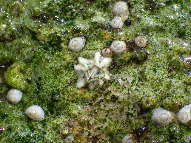
Austrominius modestus
N/A
NHMSYS0021006592
RecommendedWell-formed
Invasive Species: Medium Risk Invasive Species (2013 Report)
aumod
(Darwin, 1854)
Crustacean
Species
230
99
49
01/08/1982
21/05/2026
4 January (recorded in 2024)
16 December (recorded in 2014)
National Biodiversity Data Centre, Ireland, Austrominius modestus, accessed 07 July 2026, https://maps.biodiversityireland.ie/Species/280603