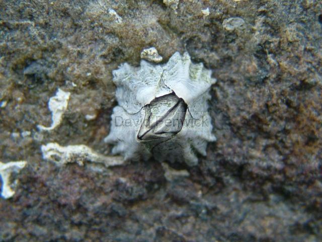
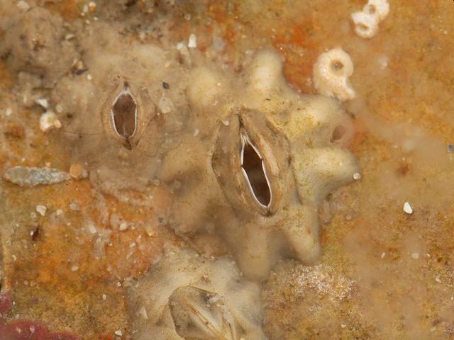
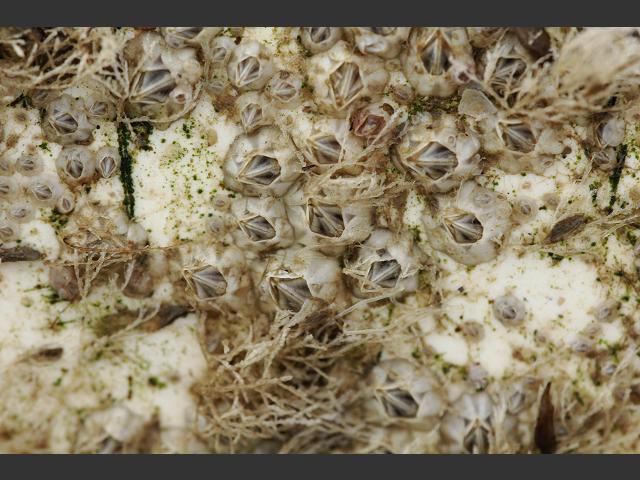
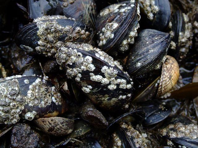
Species Detail - Elminius modestus - Species information displayed is based on the dataset "Sponges of Rathlin Island".
Terrestrial Map - 10km
Terrestrial Map - 10km
Distribution of the number of records recorded within each 10km grid square (ITM).Marine Map - 50km
Marine Map - 50km
Distribution of the number of records recorded within each 50km grid square (WGS84).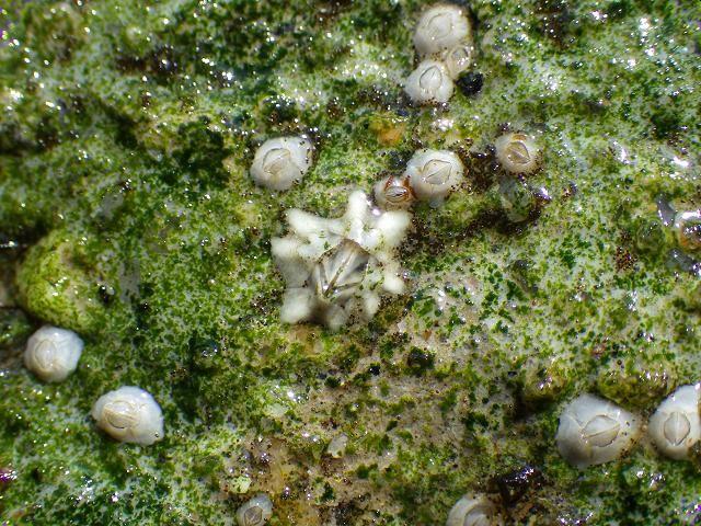
Elminius modestus
N/A
NBNSYS0000175102
UnverifiedUnverified
Invasive Species: Invasive Species || Invasive Species: Invasive Species >> Medium Impact Invasive Species
elmod
Darwin, 1854
crustacean
Species
2
1
1
18/09/1986
19/09/1986
4 January (recorded in 2024)
16 December (recorded in 2024)
Ulster Museum, Sponges of Rathlin Island, National Biodiversity Data Centre, Ireland, Elminius modestus, accessed 01 June 2025, <https://maps.biodiversityireland.ie/Dataset/48/Species/17858>