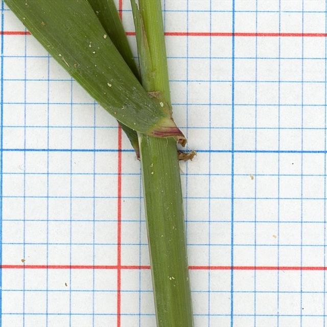
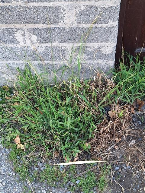
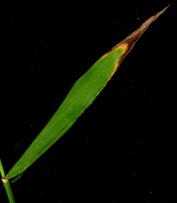
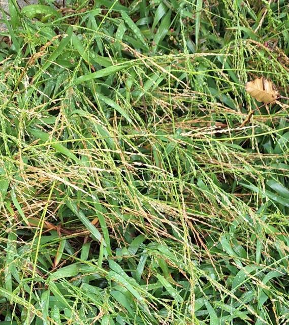
Species Detail - Ehrharta erecta - Species information displayed is based on the dataset "National Invasive Species Database".
Terrestrial Map - 10km
Terrestrial Map - 10km
Distribution of the number of records recorded within each 10km grid square (ITM).Marine Map - 50km
Marine Map - 50km
Distribution of the number of records recorded within each 50km grid square (WGS84).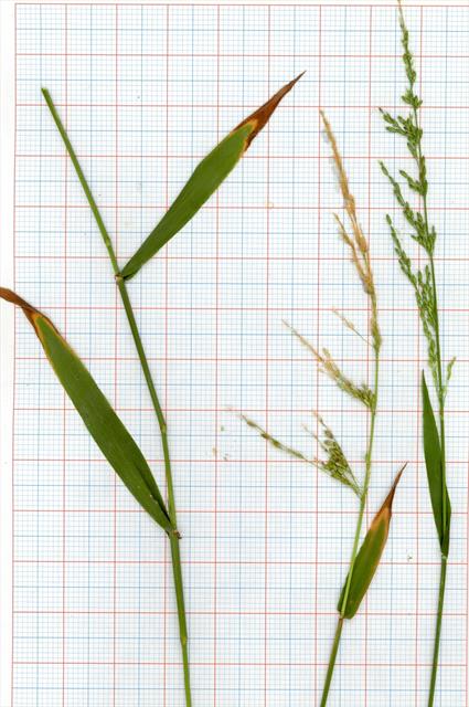
Ehrharta erecta
N/A
NBNSYS0200002062
RecommendedWell-formed
N/A
ehere
Lam.
Flowering plant
Species
1
1
1
20/07/2024
20/07/2024
20 July (recorded in 2024)
20 July (recorded in 2024)
Collated by the National Biodiversity Data Centre from different sources, National Invasive Species Database, National Biodiversity Data Centre, Ireland, Ehrharta erecta, accessed 19 July 2026, https://maps.biodiversityireland.ie/Dataset/397/Species/37636