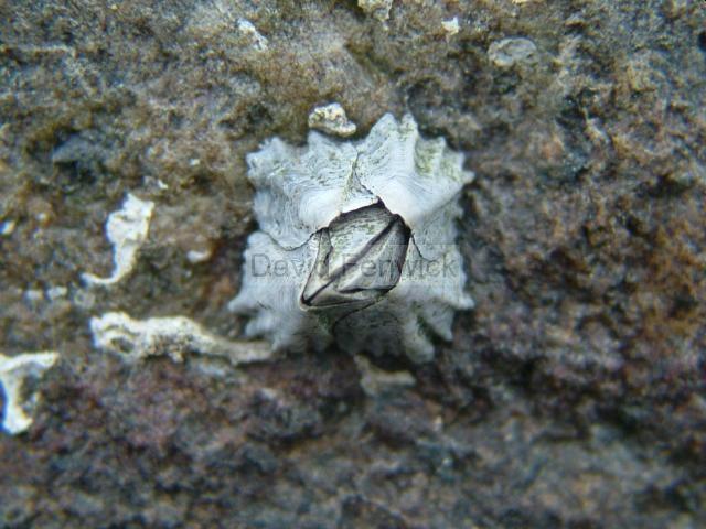
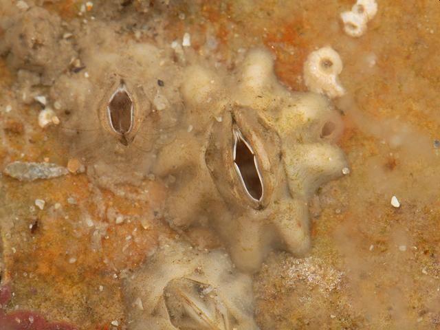
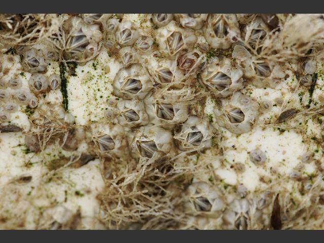
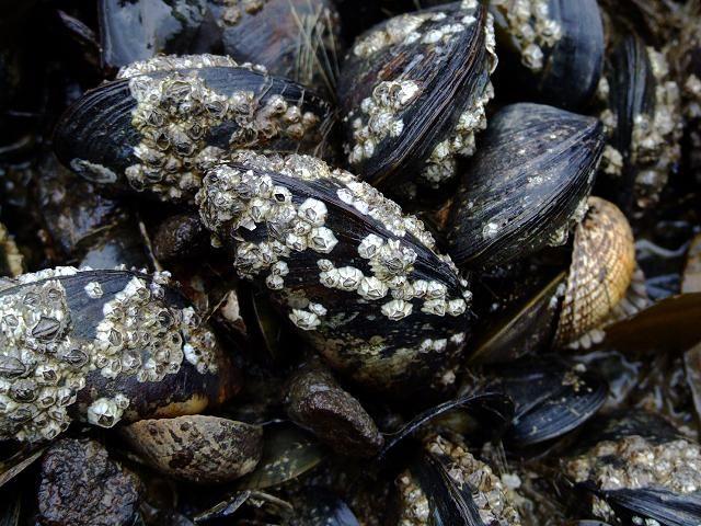
Species Detail - Austrominius modestus - Species information displayed is based on the dataset "National Invasive Species Database".
Terrestrial Map - 10km
Terrestrial Map - 10km
Distribution of the number of records recorded within each 10km grid square (ITM).Marine Map - 50km
Marine Map - 50km
Distribution of the number of records recorded within each 50km grid square (WGS84).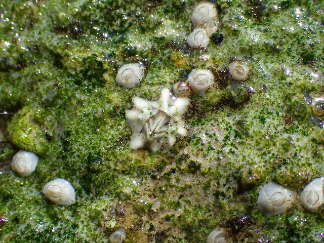
Austrominius modestus
N/A
NHMSYS0021006592
RecommendedWell-formed
Invasive Species: Medium Risk Invasive Species (2013 Report)
aumod
(Darwin, 1854)
Crustacean
Species
36
35
25
01/01/2018
31/12/2022
4 January (recorded in 2024)
16 December (recorded in 2014)
Collated by the National Biodiversity Data Centre from different sources, National Invasive Species Database, National Biodiversity Data Centre, Ireland, Austrominius modestus, accessed 08 July 2026, https://maps.biodiversityireland.ie/Dataset/397/Species/280603