Species Detail - Elminius modestus - Species information displayed is based on the dataset "National Invasive Species Database".
Terrestrial Map - 10km
Terrestrial Map - 10km
Distribution of the number of records recorded within each 10km grid square (ITM).Marine Map - 50km
Marine Map - 50km
Distribution of the number of records recorded within each 50km grid square (WGS84).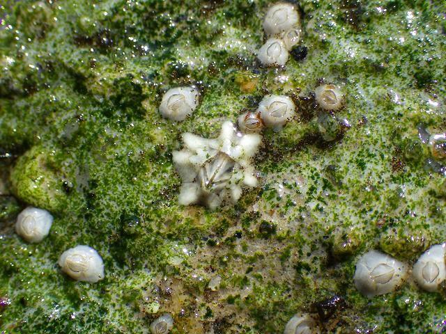
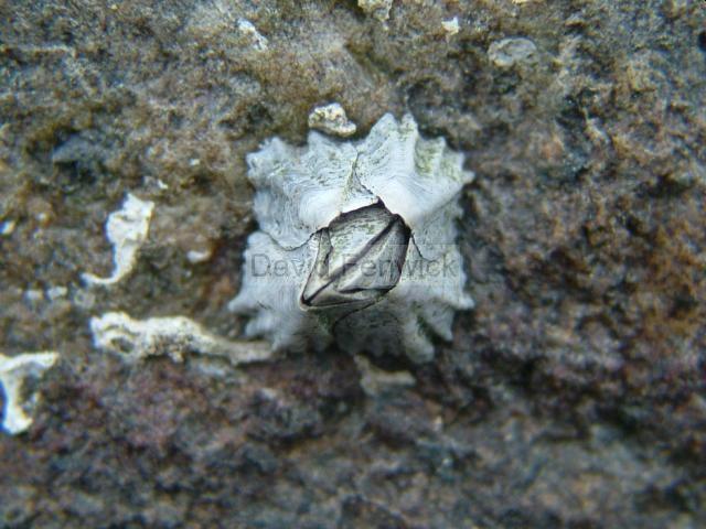
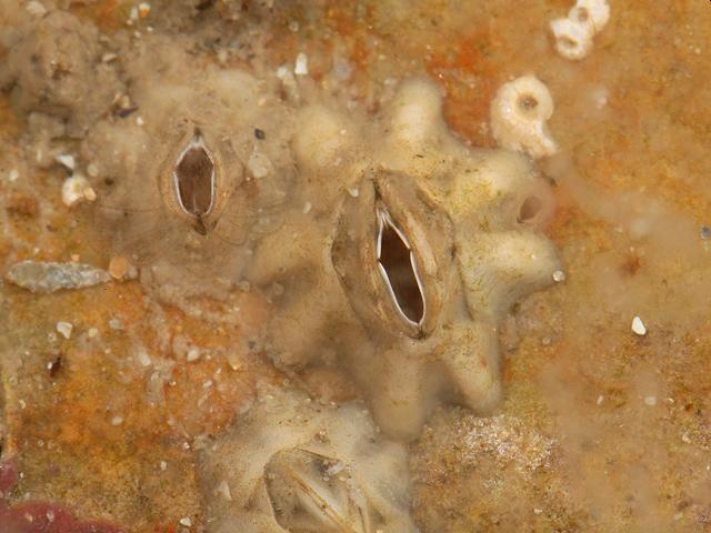
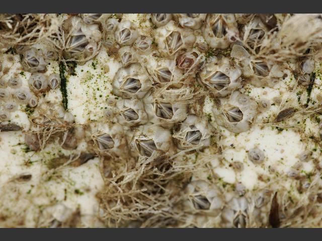
Elminius modestus
N/A
NBNSYS0000175102
UnverifiedUnverified
Invasive Species: Invasive Species || Invasive Species: Invasive Species >> Medium Impact Invasive Species
elmod
Darwin, 1854
crustacean
Species
36
35
25
01/01/2018
31/12/2022
4 January (recorded in 2024)
16 December (recorded in 2024)
Collated by the National Biodiversity Data Centre from different sources, National Invasive Species Database, National Biodiversity Data Centre, Ireland, Elminius modestus, accessed 01 June 2025, <https://maps.biodiversityireland.ie/Dataset/397/Species/17858>