Species Detail - Rhododendron ponticum - Species information displayed is based on the dataset "Water Framework Directive Lake Macrophyte Status Survey Data 2007 to 2019".
Terrestrial Map - 10km
Terrestrial Map - 10km
Distribution of the number of records recorded within each 10km grid square (ITM).Marine Map - 50km
Marine Map - 50km
Distribution of the number of records recorded within each 50km grid square (WGS84).
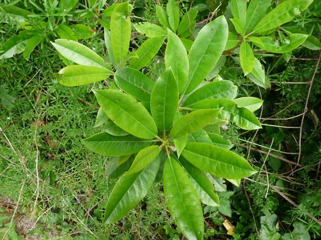
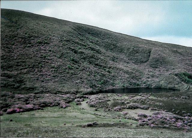
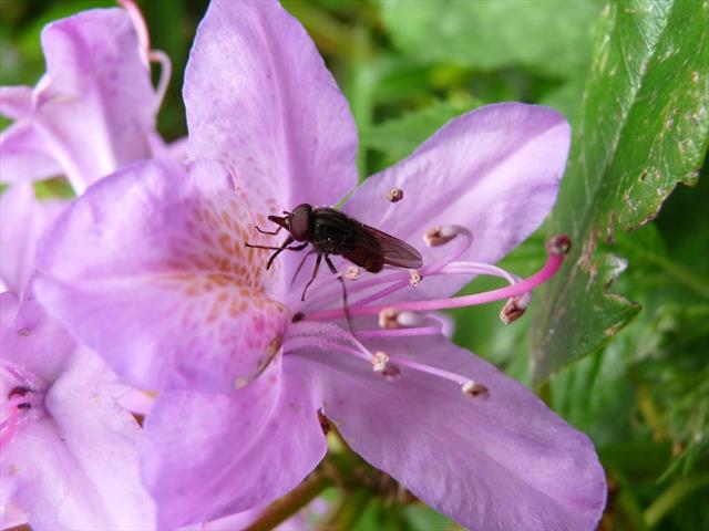
Rhododendron ponticum
N/A
NBNSYS0000003888
RecommendedWell-formed
Invasive Species: Regulation S.I. 477/2011 (Ireland) || Invasive Species: Detailed Risk Assesment || Invasive Species: High Risk Invasive Species (2013 Report) || Invasive Species: Regulation S.I. 374/2024 (Ireland) || Invasive Species: Detailed Risk Assesment >> High Risk
rhpon
L.
Flowering plant
Species
4
4
4
05/07/2016
15/08/2017
1 January (recorded in 1988)
31 December (recorded in 2017)
Environmental Protection Agency, Water Framework Directive Lake Macrophyte Status Survey Data 2007 to 2019, National Biodiversity Data Centre, Ireland, Rhododendron ponticum, accessed 18 July 2026, https://maps.biodiversityireland.ie/Dataset/365/Species/29245