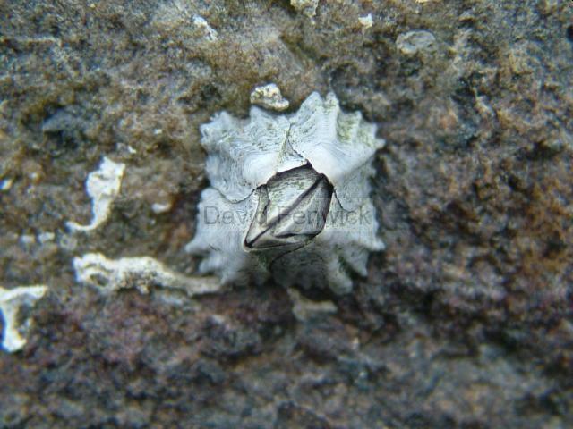
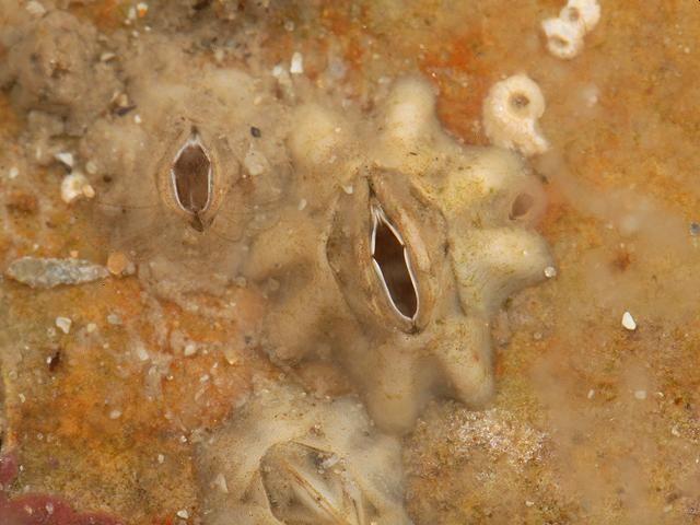
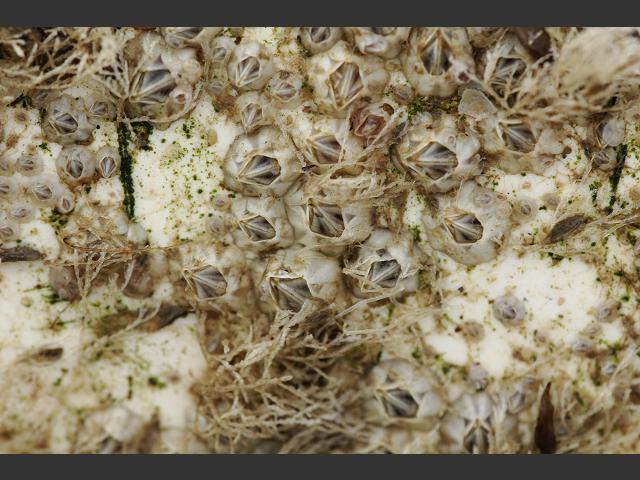
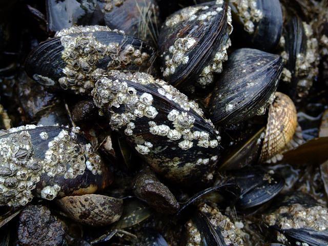
Species Detail - Austrominius modestus - Species information displayed is based on the dataset "Marine sites, habitats and species data collected during the BioMar survey of Ireland.".
Terrestrial Map - 10km
Terrestrial Map - 10km
Distribution of the number of records recorded within each 10km grid square (ITM).Marine Map - 50km
Marine Map - 50km
Distribution of the number of records recorded within each 50km grid square (WGS84).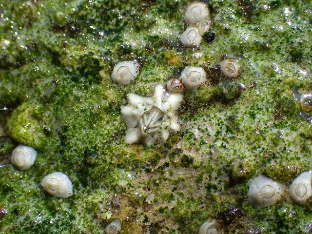
Austrominius modestus
N/A
NHMSYS0021006592
RecommendedWell-formed
Invasive Species: Medium Risk Invasive Species (2013 Report)
aumod
(Darwin, 1854)
Crustacean
Species
3
3
3
29/04/1994
14/09/1996
4 January (recorded in 2024)
16 December (recorded in 2014)
Trinity College, Marine sites, habitats and species data collected during the BioMar survey of Ireland., National Biodiversity Data Centre, Ireland, Austrominius modestus, accessed 08 July 2026, https://maps.biodiversityireland.ie/Dataset/258/Species/280603